Educational Content
Five Key Steps When Using a Pipe Laser
Posted by Matt Lacey on

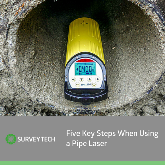 The usage of pipe lasers is an integral part to any construction site, especially in the underground utilities industry, it can improve worker productivity and provides accurate results. For this reason, it is important that you to know how to use them effectively.
- 2 comments
- Tags: blog, geomax, pipe laser, surveytech
How To Choose The Right Surveying Equipment For Your Project
Posted by Matt Lacey on

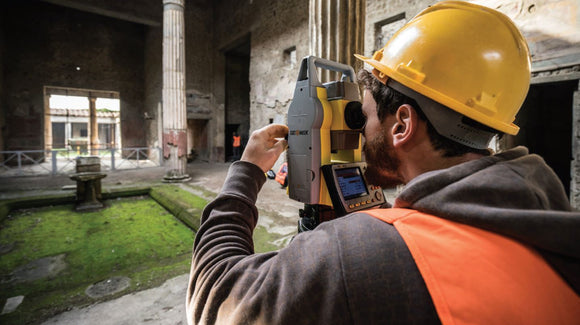
If you’re a senior engineer or independent surveyor and you’re involved in a project, you need surveying equipment. However, deciding which models to use can be a challenge. This post is here to help. We discuss the factors that go into choosing appropriate survey equipment. What Level of Accuracy Do You Need? Total stations are built with different levels of angular accuracy. The super high precision 1” is generally required for monitoring tasks but is not necessary for most site engineers, who can use a 5” instrument. A total station will also generally give a better positional accuracy than a...
How To Maintain Surveying Equipment
Posted by Matt Lacey on

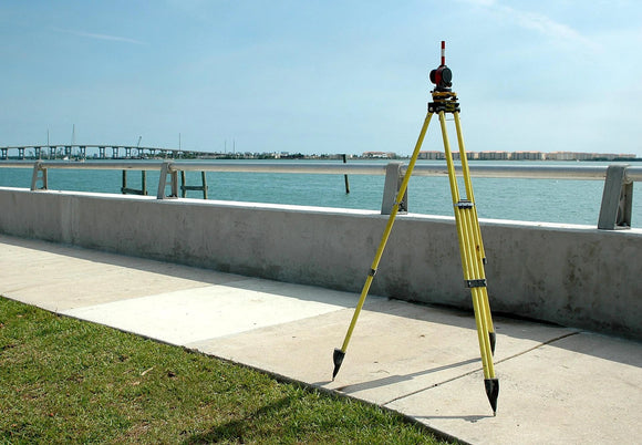
Survey equipment, by its nature, needs to be highly accurate. For that reason, it’s incredibly delicate and requires regular maintenance and calibration to keep it in good working order. Unfortunately, ensuring that survey equipment remains in a good state of repair is challenging. Surveyors and senior engineers often have to transport it for many miles on-road, leading to bumps, knicks and scrapes that can alter how it functions. What’s more, on-site handling can also lead to calibration problems. Maintenance of Surveying Equipment Explained In this post, we take a look at how to maintain your survey equipment. Here’s what to...
WHAT IS LASER SCANNING?
Posted by Nurul Basher on

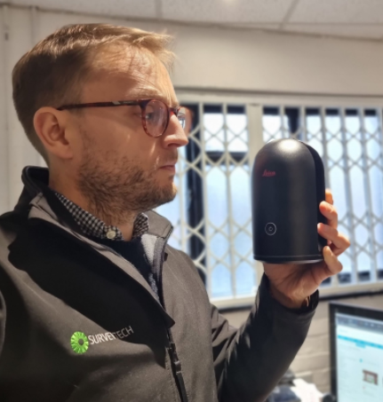
Laser scanning, also known as LIDAR (Light Detection And Ranging), is a method of making a lot of rapid distance measurements to create a georeferenced 3D picture, known as a pointcloud. If that sounds a bit complicated, think of each of those points just as one single measurement, just as you would make with a total station- each with its own coordinate registering its position in space, except there are potentially millions of them as the laser scanner uses a spinning mirror to make an enormous number of measurements in a short amount of time. You can see exactly what...
GROUND PENETRATING RADAR: A SHORT-ISH INTRODUCTION
Posted by Nurul Basher on

The Haruspex in Ancient Rome was a type of priest who could cut open a sheep and tell the will of the Gods just by looking at its entrails. Modern Utility surveyors might seem like a Haruspex sometimes, walking around with a lawnmower-like device, staring at some wiggles on a screen then somehow divining where the pipes and cables are beneath the concrete. But is it all as opaque as that? Well, in short, no. Ground Penetrating Radar is actually quite an easy-to-use tool once you understand a few key concepts. And it’s much less messy than using sheep entrails,...